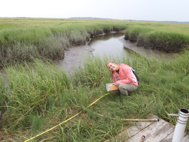
A salt marsh is comprised of fine sediments brought in from the sea, held together by the roots of plants. Without the roots of Spartina alterniflora in the low marsh and Spartina patens in the high marsh, the sediments have nothing to hold them together. They will break down and are washed back out to sea with the falling tide. In 2006 after 4 years of fertilization in Sweeney Creek, TIDE scientists began noticing a decrease in the structural stability of the creek banks and an increase in cracks and peat islands. The bed of tall Spartina alterniflora that lines the creek banks appeared to be breaking off into the creek, leaving a cliff bank lined with Spartina patens. They began studying two additional creeks, Clubhead and Nelson, in 2009 in order to measure these observations from the beginning.
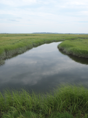
This summer I am an REU for the TIDE project, and I am concentrating on quantifying the changes in geomorphology that have been observed. My goal was to count and measure the high marsh cracks in every creek, measure the width of the Spartina alterniflora band along the creeks, and to count and measure the peat islands. This data is to be used to compare the fertilized and reference creeks to determine if there is a significant difference and if this decrease in structural stability is being caused by the excess nutrients.
So far this summer I have finished the majority of my field work. With the help of Chris Haight, the other REU’s Harriet and Tim, as well as two REH’s Nora and Chris, I have been able to measure all the cracks and peat islands, as well as the band of Spartina alterniflora at every creek. To measure the cracks, we walked along the creek bank on both sides to feel for cracks with our feet. I recorded the measurements, as well as the location along the creek. When we measured islands, Chris H. walked in the creek and measured the islands, as well as counting the number of low marsh and high marsh crumbles.
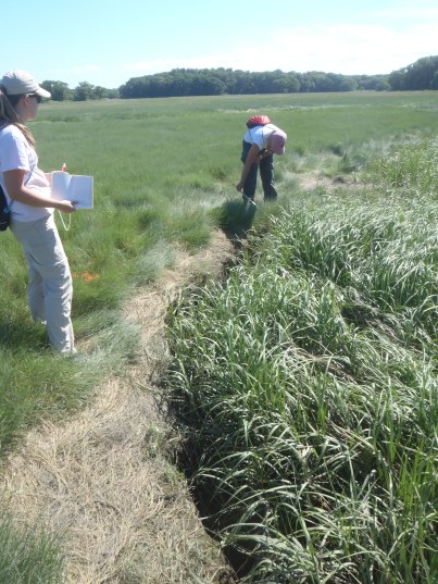
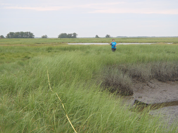
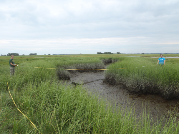
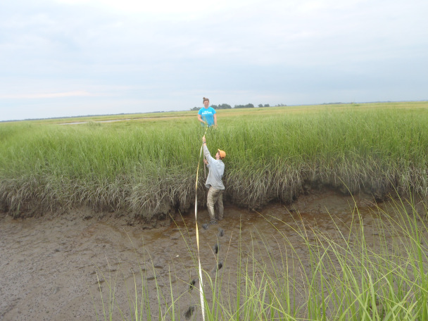
Measuring the Spartina alterniflora band was a bit more complicated, as it took a few tries to get a system that worked. In the end, our method was to lay out a tape measure parallel to the creek on one side, and have two people on either side holding another tape measure that was perpendicular to the creek. A third person was in the middle of the creek. I held the end of the tape measure where the Spartina alterniflora stopped and it turned into high marsh, and I moved along the side of the creek and stopped at every meter. Chris would be in the middle reading where the Spartina alterniflora stopped on my side to where it began on the other, and Nora was on the other side of the creek to read where the Spartina alterniflora stopped and the Spartina patens began. This gave us the width of the Spartina alterniflora on both sides, as well as the width of the creek habitat that did not have vegetation.
I am now in the data analysis phase of my project, where I will be using the data the compare the fertilized and reference creeks. In addition to regular tank fills, we just finished the second round of flume netting, Chlorophyll-A samples, and routine water samples. Chris and I have begun taking sediment cores, and next week the N2/Argon sampling begins.
Katherine stout | Memorialtees
[…] Katherine Stout: Geomorphology | The TIDE Project […]